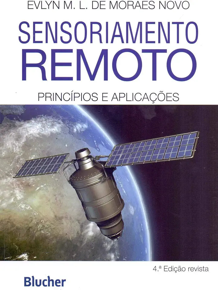
Remote Sensing - Principles and Applications - Evlyn M. L. de Moraes Novo
Remote Sensing: Principles and Applications
Introduction
Remote sensing is the science of acquiring information about an object or area from a distance, typically using electromagnetic radiation. It is a powerful tool that has been used for a wide variety of applications, including land use planning, environmental monitoring, and disaster response.
Principles of Remote Sensing
Remote sensing systems work by detecting and measuring electromagnetic radiation emitted or reflected by objects on the Earth's surface. The type of radiation used depends on the application, but common types include visible light, infrared radiation, and microwave radiation.
The amount of radiation that is reflected or emitted by an object depends on its properties, such as its temperature, surface roughness, and moisture content. By measuring these properties, remote sensing systems can provide information about the object's composition, structure, and condition.
Applications of Remote Sensing
Remote sensing has a wide range of applications, including:
- Land use planning: Remote sensing can be used to map land use and land cover, which can help planners make informed decisions about how to use land resources.
- Environmental monitoring: Remote sensing can be used to monitor environmental conditions, such as air quality, water quality, and vegetation health.
- Disaster response: Remote sensing can be used to assess the damage caused by natural disasters, such as floods, earthquakes, and wildfires.
- Agriculture: Remote sensing can be used to monitor crop growth, soil moisture, and irrigation needs.
- Forestry: Remote sensing can be used to monitor forest health, detect deforestation, and plan forest management activities.
- Geology: Remote sensing can be used to map geological features, such as faults, folds, and mineral deposits.
- Oceanography: Remote sensing can be used to study ocean currents, sea surface temperature, and marine life.
Benefits of Remote Sensing
Remote sensing offers a number of benefits over traditional methods of data collection, including:
- Cost-effectiveness: Remote sensing can be a cost-effective way to collect data over large areas.
- Timeliness: Remote sensing data can be collected quickly and easily, which is important for time-sensitive applications.
- Accuracy: Remote sensing data is accurate and reliable, which makes it suitable for a variety of applications.
- Versatility: Remote sensing can be used to collect a wide variety of data, which makes it a versatile tool for a variety of applications.
Conclusion
Remote sensing is a powerful tool that has a wide range of applications. It is a cost-effective, timely, accurate, and versatile way to collect data about the Earth's surface. If you are interested in learning more about remote sensing, I encourage you to read this book.